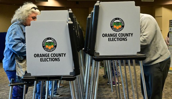
To improve election mapping data, GeoElections campaign targets state and local GIS

The National States Geographic Information Council (NSGIC) is launching a campaign to help state and local governments improve map data pertaining to elections.
The two-year project, dubbed GeoElections, aims to use geospatial information systems (GIS) to give the public more detailed information about political and precinct boundaries, in order for voters to be more informed about what ballot issues apply to them.
“The information systems behind our elections process can benefit greatly from integrating precise, authoritative geographic data,” said NSGIC Executive Director Molly Schar in the project’s public announcement on Thursday. “This has never been more important, as it will enhance efficiency and integrity while laying the groundwork to better connect constituents with their representatives and available government services.”
NSGIC, an association of state GIS professionals, is looking to speed up progress as states try to modernize their elections resources. A 2002 national law called the Help America Vote Act (HAVA) requires that states maintain statewide voter databases, which many states also use to assign voter addresses to precincts. But Schar said the lists are cumbersome to maintain, especially when it comes to expanding residential areas and making changes to precinct boundaries.
“Anecdotal evidence indicates that a move from the address list approach to the GIS approach can provide significant gains in operational efficiency and data quality,” Schar said in an email to StateScoop. “Several states have made advancements in this area and some are publishing precinct boundary GIS data openly. Yet, there has been no organized effort to gather the experiences of states that have made this transition in order to develop and promote best practices.”
NSGIC plans to work with state and local officials to establish best practices for governments when it comes to publishing resources like precinct maps and conducting periodic precinct redistricting processes. Namely, the group wants to start with Arkansas, Hawaii, Iowa, Michigan, Minnesota, Oklahoma and Utah, which Schar said have made “significant strides implementing map technology within elections information systems” in recent years.
Over the course of the two-year project, the group plans to host workshops promoting best practices for implementing GIS in election planning. It also plans to run at least five state-level pilot programs to “advance the development of GIS-reliant elections systems,” Schar said. In its second year, she said, NSGIC wants to hold a summit to present case studies and best practices and eventually release a formal report on the program’s findings.