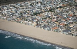
Oxnard, CA – October 05, 2026: Oxnard Shores photographed from an airplane on Monday, Oct. 5, 2026 in Oxnard, CA. Topographic LiDAR survey of the California coastline funded by the state of California monitors coastal erosion and morphology due to increasingly large storm and weather events along with rising sea levels. This survey serves as a baseline for future surveys and was conducted just before and after an active El Nino winter season.(Kayla Bartkowski / Los Angeles Times via Getty Images)
The National Oceanic and Atmospheric Administration has forecasted a 75% chance that this year’s El Niño will become a historic event, increasing the risk of high tide…
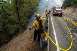
The state agency’s new Fire Innovation Unit will bring firefighters, IT specialists and researchers together to test whether emerging tools can address operational gaps and improve safety…
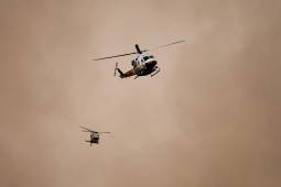
The new facility replaces a remote aviation base with state network access, specialized aircraft rescue capabilities and space to house helicopters and air tankers closer to wildfire…
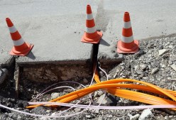
A new pilot will test six pieces of zero-emission construction equipment in Queens and Staten Island, with findings expected to inform the city’s next climate plan.
The partnership will focus on redesigning member notices, simplifying applications and mapping caseworker processes to identify repetitive tasks that could be automated or streamlined.
The latest grants from the Administration for Children and Families aim to help modernize background check systems to speed foster family licensing and child placements.
The modernization effort comes as election officials across the country face pressure to update election systems while maintaining reliable and secure voting processes.
Keith Wilson, a talent engagement manager at the U.S. Digital Response, discusses the organization’s new Digital Service Toolkit and the evolution of digital service teams in state…