National States Geographic Information Council
In virtual conference, NSGIC to highlight GIS in COVID-19 response
The organization’s first fully virtual conference will kick off next week and highlight the role of GIS in COVID-19 response across state governments.
Building a national address database starts with states
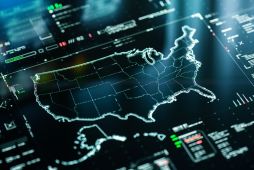
A new guidance document from the Nation States Geographic Information Council reveals that while some states are succeeding at collecting and sharing address data, others could use some extra help.
'Geo-Enabled Elections' event to bridge mapping, election disciplines
Geospatial officers and elections administrators will meet in Washington to exchange ideas on making the democratic process more geographically precise.
State election officials interested, but slow to adopt geospatial data
Election directors want to use geographic information systems to improve voter registration and precinct mapping, but many lack access, a new survey shows.
Researchers are trying to make U.S. elections more reliable — using maps
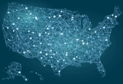
A group of state GIS officials and other researchers are working to correct flaws in precinct maps that could potentially throw the results of elections.
Seven-state pilot aims to close the gap on 3D mapping data
Most states are missing large swathes of map data, and the data that's there is not completely accurate. A new project seeks to change that.
Census data, NextGen 911, drones hot issues at 2018 MidAmerica GIS symposium
The MidAmerica GIS Consortium's April event will bring together map makers and geospatial data practitioners from nine states.
Congress introduces Geospatial Data Act to the delight of GIS advocates
If passed, the legislation is thought to fill gaps in geospatial data governance left vacant for more than 20 years.
To improve election mapping data, GeoElections campaign targets state and local GIS
A new program attempts to bring structure to a widespread effort by states and municipalities to modernize their election systems using geospatial data.