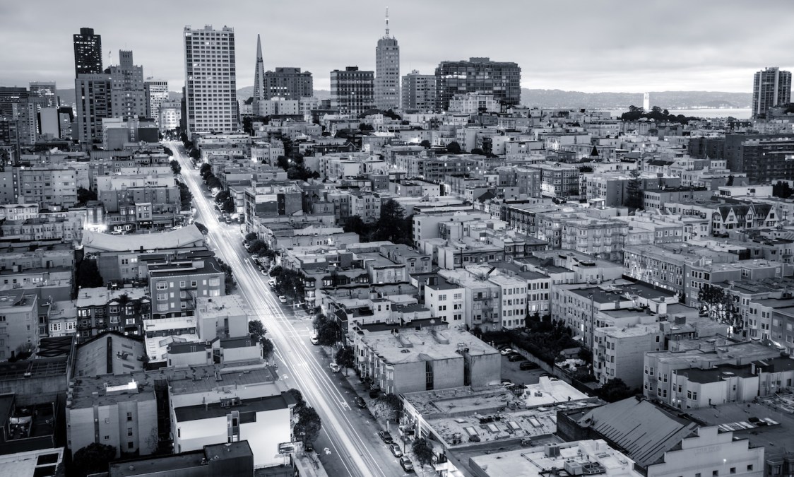
Map reveals more than 2,700 surveillance cameras in San Francisco
The Electronic Frontier Foundation, a national digital civil liberties group, released data last week revealing the location of thousands of publicly and privately owned surveillance cameras around San Francisco, detailing what it calls a “threat to privacy” as the city considers legislation that would severely limit its own stockpile of government-owned surveillance technology.
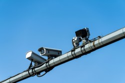
The data, published Wednesday, includes 2,753 out of 3,263 cameras in the San Francisco District Attorney’s dataset of surveillance devices around the city. The cameras are split among four categories: police surveillance in high-crime neighborhoods, privately owned cameras mounted on buildings, red-light cameras operated by the city’s transportation department and a 27-block surveillance network operated by the Union Square Business Improvement District, one of San Francisco’s main commercial areas. (The district attorney’s office withheld the locations of 510 private cameras owned by people who voluntarily agree to share their footage with law enforcement.)
The cameras are catalogued by the district attorney’s office to aid investigators in finding footage of potential crime scenes. While the map doesn’t cover the entire city, that doesn’t mean San Francisco residents can avoid detection, said Dave Maass, a senior investigative researcher at EFF who compiled the data.
“It’s not like the places that are blank on this map don’t have surveillance cameras,” he said. “We all know that there are surveillance cameras everywhere.”
Facial recognition and surveillance is a core issue of EFF’s advocacy work. As government and private monitoring initiatives advance, Maass said, they create the potential for the development of surveillance networks that can track people in real time without their consent. The point of the map isn’t to stop that or to be a resource for people to avoid cameras in the name of crime or other motives; it’s to raise awareness, he added.
“This is not a map designed to tell people how to evade surveillance or if they’re committing crimes or anything like that,” Maass said. “It’s just a matter of when people are collecting information on you, there needs to be awareness of it, and ideally there should be some sort of consent to it. There’s not that, ability, necessarily, when it comes to cameras that are collecting the public.”
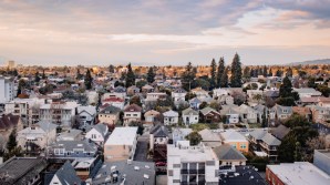
The dispersion of the cameras, according to the map, isn’t particularly even across San Francisco neighborhoods. The ten most heavily tracked neighborhoods include popular shopping and restaurant districts like Union Square and the Mission, as well as low-income areas like the Tenderloin, while the city’s western half — which includes its wealthiest enclaves — is largely excluded. That’s in line with a trend that Maass says is sweeping the country.
“It does indicate that there are certain neighborhoods police more than other neighborhoods,” Maass said.
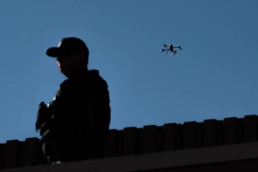
Maass said that EFF and other groups around the country are noticing a trend of police departments seeking camera access in private establishments, notably bars and medical marijuana dispensaries. Those cameras could feed into police stations to create a real-time crime center.
The San Francisco Board of Supervisors is currently weighing an ordinance to prohibit all city agencies from using facial recognition technology or the data gleaned from it, as well as mandate government approval and oversight over any kind of surveillance technology. The ordinance would require agencies currently using surveillance technology to file an ordinance justifying its existence, potentially affecting the distribution of the cameras shown on the map.
The district attorney’s office did not respond to StateScoop’s request for comment.