Oklahoma latest state to launch interactive broadband map
The Oklahoma Broadband Office launched a new, interactive broadband map on Tuesday that details the availability, speed and equity of internet service across the state.
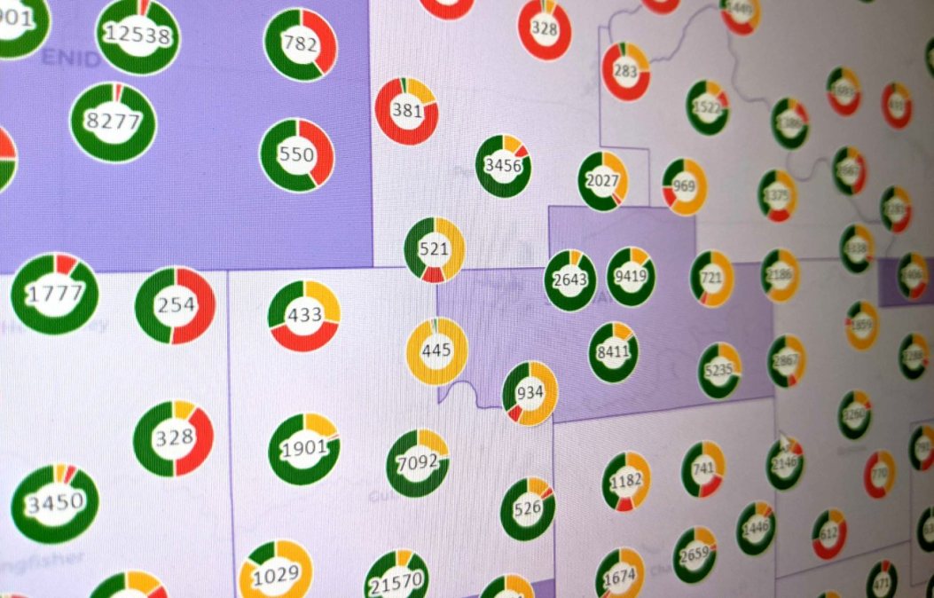
The map shows locations in Oklahoma that either have slow internet speeds or don’t have access to internet at all. It aims to aid the state in planning how to distribute millions in federal funds expected to trickle in over the next few years to help to close the divide in access to high-speed internet.
A helpful but flawed federal mapping process has pushed many states, like Oklahoma, to create their own broadband maps.
Data from the new Oklahoma map will be shared with the Federal Communications Commission to improve the accuracy of the National Broadband Map, according to the state. The national map has been revised several times over the past year, leading up to the National Telecommunications and Information Administration in June allocating to each state a piece of the $42.5 billion Broadband, Equity, Access and Deployment fund.
And while the amount of BEAD funds each state will receive has been finalized by the NTIA — with Oklahoma receiving more than $797 million — states can use broadband map data to challenge plans on where it can invest the dollars.
Oklahoma’s new map allows residents to provide feedback on the accuracy of the data, too. Mike Sanders, executive director of the Oklahoma Broadband Office, said in a news release that the map’s data will inform state broadband investment decisions.
“The Oklahoma-specific map will serve as a guide to the success of our mission to ensure high-speed internet service is available to everyone – including the nearly 750,000 Oklahomans who lack such service today,” Sanders said.
The map, which was built in collaboration with the AppGeo Division of the Sanborn Map Company, will continue to be improved and updated, the release said. Along with internet speeds, the map shows locations that are unserved or underserved. It also aggregates demographic data by location and displays areas receiving broadband upgrades through other federal grant funds.
Oklahoma follows other states, including Colorado, New Hampshire and New York, that have used the FCC map along with their own data to build their own broadband maps ahead of the initial BEAD funding distribution.
States and territories are in the process of submitting their initial proposals and challenges to the map, which are due to the NTIA in December and must be approved before states are eligible to receive up to 20% of their allocated BEAD funds.