States’ biennial Geospatial Maturity Assessment reveals progress, challenges
The National States Geographic Information Council on Tuesday published a biennial report showing that states are making steady progress in how they use geospatial technologies and organize their policies to use geospatial data.
The group’s report, which it calls the Geospatial Maturity Assessment, or GMA, is a national benchmark for how states are using geospatial information systems and geospatial data, mapping technologies that are used by a growing number of agencies to manage everything from wildlife to real estate. The 2023 edition of the report shows that states are making progress in many ways, including in their adoption of geospatial data as they pursue next-generation 911, an upcoming suite of technologies designed to transition emergency services into the digital age.
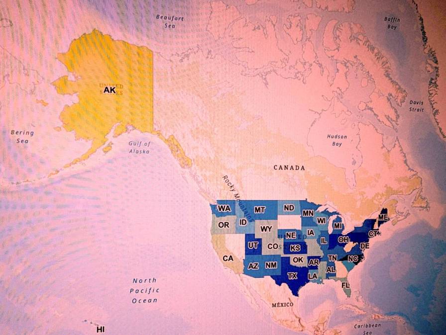
Of the 47 states that responded to a survey spanning nine categories, 44 states received “A” or “B” grades overall. Alaska received the lowest overall grade, a “D”. California earned a “C+” and Georgia earned a “C-”. Emily Ruetz, the nonprofit’s technology director, told StateScoop that the three lower grades aren’t necessarily reflective of an abdication of duty.
“Alaska just does not fit with the rest of the states for simple geographic reasons,” Ruetz said. “Alaska is ginormous and a lot of the questions that we ask in the GMA — you’ll kind of see this in California as well — they just don’t make a lot of sense. It’s kind of the whole thing of judging a fish to climb a tree. It’s just our assessment does have weaknesses. It’s not perfect for every single state.”
Despite its imperfections, the report can serve as a useful motivator for additional policy work in states, she said. This year’s grades show improvement over the group’s 2021 assessment, in which six states received “C” or “D” grades. Ruetz said good grades can give geospatial information officers a helpful aid as they request additional funding or permission to continue their initiatives.
“It comes down to funding and that’s where the GMA can really benefit states, because it is a national assessment and it can kind of get at peoples’ competitive natures a little bit,” she said. “It gives states benchmarks to work off of to help inspire action around funding these programs that make all of these things possible.”
This year’s assessment includes two major changes. The first is that states weren’t graded on hydrography — the measure of bodies of water — because they’re amid a transition to a 3D standard.
The second change is that this the first time the group graded states on how they use geospatial data to advance adoption of next-generation 911, a suite of technologies replacing phone-based systems with modern hardware and software that can use videos, photos and digital data. Thirty-two states were found to use GIS in their 911 planning, an increase from 26 in 2021. Many states reported, however, that funding continues to be a challenge. (Next-generation 911 upgrades continue nationwide without a federal funding source.)
This year’s assessment could also birth a new nationwide project after the group’s survey pushed respondents to provide information on which counties in their states have publicly available parcel data.
“So now we have maps at the national level that show [where] there’s publicly accessible parcel data at the county level — for all the states that filled it out — which is awesome and amazing,” she said. “And I know there is an effort to get a national parcel dataset put together and so this process through the GMA has helped be the little first step to what that could potentially look like.”