
How a Wisconsin county uses vehicle crash data to drive equitable policy
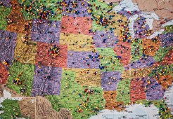
Milwaukee County recently updated its vehicle collision dashboard to include data on crash “hotspots,” with the aim of driving improvements in public safety.
Milwaukee County recently updated its vehicle collision dashboard to include data on crash “hotspots,” with the aim of driving improvements in public safety.
A new report says geospatial leaders across states and localities need more organized governance, which could power better data collaboration.
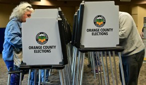
Local election offices are using mapping software to improve the transparency of their processes and to encourage more people to go vote.

A U.S. Census Bureau geographer said the agency will begin releasing gridded data — “geographic units of a regular pattern, repeated shapes, without gaps or overlaps.”

Lawmakers are planning to introduce an amendment to a landmark 2018 law that codified policies for sharing and using geospatial data.

Unserved and underserved communities could be left behind in what some are calling a “rushed” process led by the NTIA and FCC.

New York City CTO Matt Fraser said the city is on track to launch a 911 system that allows callers to submit photos and videos.

Revenue Mobile App is a project from Cook County, Illinois.

Many more states are expected to incorporate GIS into their voter registration systems by 2027, according to a new NSGIC report.

The National Association of State Chief Information Officers named the finalists of its 2022 State IT Recognition Awards.