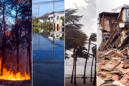
Philadelphia’s new website allows public to track flood risk
Philadelphia officials launched a new monitoring platform over the weekend that gives residents real-time access to flood conditions across the city, part of a broader push to modernize emergency preparedness technology in vulnerable neighborhoods.
The new system, unveiled by the Philadelphia Office of Emergency Management during a ribbon-cutting ceremony on Saturday, allows residents and businesses to track rainfall, water levels and flood risks. The platform also includes live camera feeds from flood-prone areas, helping residents determine whether roads are safe or if protective measures are needed before storms intensify.
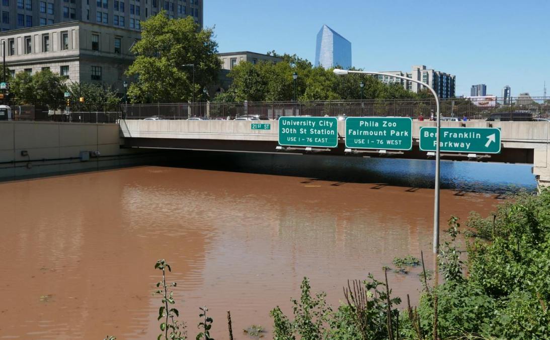
City officials said the technology is aimed at improving situational awareness in neighborhoods like Eastwick, which has experienced repeated flooding from storms such as Hurricane Isaias in 2020.
“The Eastwick initiative is a great example of how we are uniting as ‘One City’ to ensure Philadelphia is safer, cleaner, and greener,” Dominick Mireles, the city’s deputy managing director of community safety, said in a press release. “Listening to residents, addressing their concerns, and incorporating their ideas into potential solutions is critical to creating safer and stronger communities.”
The new flood monitoring system uses a network of flood gauges and cameras installed throughout the city, including along Cobbs Creek and Darby Creek, two watersheds in the southwestern part of the city that the U.S. Army Corps of Engineers have determined are prone to recurrent flooding.
The project represents the next phase of Philadelphia’s broader flood technology initiative, which was highlighted in OEM’s 2025 annual report. It also builds on the city’s ReadyPhiladelphia Eastwick Alerts program, a neighborhood-focused emergency notification system launched in 2024.
With the launch, Philadelphia joins dozens of state and local governments using real-time environmental data and mapping technologies to strengthen disaster response and flood mitigation efforts.
In January, Alabama Gov. Kay Ivey announced the launch a statewide flood notification system during her ninth and final State of the State address. The system, designed to alert people quickly when flood dangers arise, is expected to operate in each of the state’s 67 counties by the summer.
Colorado, Maryland, North Carolina and many states also use real-time monitoring and sensor networks to forecast flooding and warn travelers about flooded roads and bridges before conditions become hazardous. Last year, Pennsylvania invested in upgrading statewide flood warning infrastructure through its IFLOWS 2.0 modernization initiative.