How Shasta County, Calif., used GIS to improve elections
As part of an ongoing project to modernize record-keeping practices that date back to the 1970s, Shasta County, California, is becoming more sophisticated in how it uses GIS technology to back its voting systems, local officials said during an online event Thursday.
Shasta County, which contains 177,000 people in the northern part of the state, is one of several local governments that in 2020 signed onto a pilot program led by the National States Geographic Information Council designed to integrate geospatial technology into the nation’s voting systems. The program, which NSGIC calls Geo-Enabled Elections, has vastly improved the confidence the county has in the accuracy of its data as it heads into a redistricting effort this year, said Cathy Darling Allen, Shasta County’s clerk and registrar of voters.
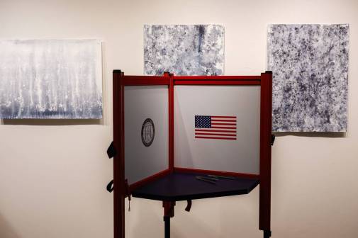
“A lot of folks use GIS to make great informative maps, but this project really also lets us dig into data quality, which is the bedrock foundation of a good election,” Allen said during an online event hosted by NSGIC and the Center for Tech and Civic Life, an election reform group. “We can use the GIS data as an audit tool and bump it against our existing voter file to ensure that, for example, we’ve created ballot types that make sense and make a map of just ballot types to ensure we’ve got it right before we ever print a ballot.”
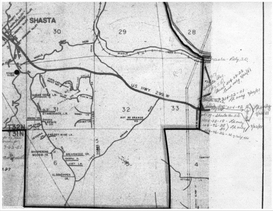
Allen said the county in 2003 began transitioning from a mapping process that involved colored pencils and paper maps to a digital platform called Maptitude. And while that software was easy to use, she said, the county eventually found that switching to the mapping giant Esri for “almost everything” better suited the local government’s needs, including user training, which Esri bundles into its software’s sale price.
“We purchased our last set of colored pencils in 2009,” Allen said. “GIS provides us with a much better tool to track changes to jurisdictional boundaries and lots of other demographic data.”
And to prepare for the general election last November, Allen said the pilot was helpful because it offered the local government additional resources and support, including mentorship from Gary Bilotta, the GIS director for Maricopa County, Arizona.
“Because the nature of elections is just putting out one fire after another, the framework of the pilot has really helped to keep us accountable,” Allen said.
Shasta County also found additional staff support from its largest city, Redding, and Shasta College, a community college with which the county formed a formal work-study program for GIS students.
Dave Powers, the county’s GIS manager, said during the event that much of the critical “geo-encoding” work of the pilot was performed by additional helpers from the city or community college.
One of the event’s hosts, Josh Simon-Goldman, a program manger with CTCL, encouraged other local government leaders to seek outside help from state and local agencies, such as in departments of technology or land, or in state election offices.
“GIS doesn’t have to be scary,” Simon-Goldman said. “A move toward digital maps comes with many benefits: accuracy, efficiency, communications and transparency. When you get geo-enabled elections up and running, voters get the right voting information, the right ballot and all of this with fewer issues.”
Though having extra help aided Shasta County’s pilot, Allen said, one of the biggest lessons was to maintain strict version control over any data being used.
“Version control might seem like a really obvious thing, but initially it was not for us. We realized it after working in tandem with GIS support staff for about six months that we were each maintaining a separate set of shapefiles, one developed by elections and one developed and maintained by the county’s GIS staff,” she said. “Once we realized that was the cause of some of the errors we were seeing, things went a lot faster and better.”
This year, Allen said, the county plans to continue expanding its use of GIS data, including projects to refine the use of GIS to assign voter precinct and portion, develop quality control processes and apply lessons from the recent pilot to a redistricting effort that happens once every 10 years.