GIS’ profile grew during pandemic, says certification group
National interest in geographic information systems is growing, particularly as states and local governments have relied on location data over the course of the COVID-19 pandemic to track the spread of the virus and administer vaccines.
Anthony Spicci, executive director of the GIS Certification Institute, told StateScoop he’s watched in recent months as a growing number of technology companies began requiring their staff to hold geographic information systems professional, or GISP, certification, a credential issued by his group designed to promote ethical behavior and raise quality standards in the industry.
Within government, too, Spicci, a former Missouri Department of Conservation official who took over as the certification nonprofit’s leader in May, said he’s seen a growing number of agencies include GISP requirements for new hires and projects.
“It’s good that it’s in the public consciousness now and the whole idea of how we can use geospatial data to move things forward and make things better,” he said.
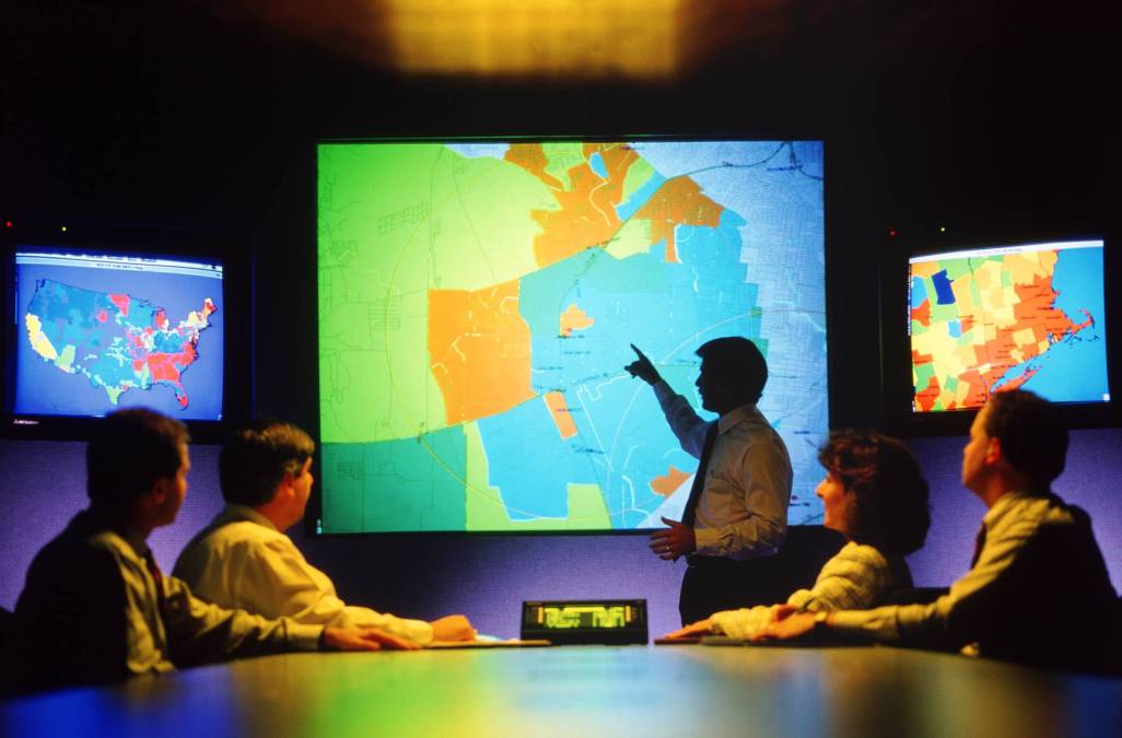
The profile of technologists within government was elevated in recent months as political leaders turned to those most familiar with the tools used to collect accurate and timely data during the health crisis. Geographic information systems in particular are used in a diverse array of applications within government, from land surveys to the timely dispatch of emergency responders. Spicci said it’s increasingly important to hold those wielding the technology, which often plays a central role in the functioning of those systems, to a high standard of performance.
“Our problems are becoming more and more complex, and so in the case of the pandemic as the most recent example, the emergency response community had to reach outside of that normal fire, police, EMS and you had to bridge that working with health care professionals,” he said. “I think that’s one of the first times we’ve done that in the real world. Geospatial can solve so many problems and issues and we become more powerful when we solve those problems and issues as a community.”
Tests for the GISP certification, which Spicci’s group started administering in 2016, require applicants to meet standards on education, industry experience, contributions to the profession and ethics. Spicci said the ethical component is crucial, given the integral role that GIS plays in many of the nation’s critical computing systems.
“One really good example is data. Data has always been and always will be the backbone of any geospatial project,” he said. “Where data becomes bad is if you don’t present your data with proper metadata and document it. These decisions that we’re making are becoming more and more critical to the different types of systems that we’re involved in in this country, whether it’s health care, emergency response and the like.”
Many of the discussions about the importance of GIS and a greater need for its support go back 20 years or longer, but some of the recent activity in the public and private sectors shows that geospatial data is starting to get the recognition it deserves, Spicci said. And growth of his program, he said, is one outcome of that.
“We’re seeing a solid, steady growth in the number of applicants, the number of test-takers and the number of folks that are becoming GISPs,” he said. “The GISP program is becoming more accepted.”