AI cameras, sensors, and sometimes drones aiding fight against L.A. wildfires

Several technologies, including a camera network, remote sensors and drones are helping first responders keep residents safe and battle the three wildfires ravaging Los Angeles County, an official with the California Department of Forestry and Fire Protection told StateScoop on Tuesday.
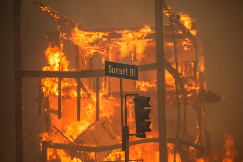
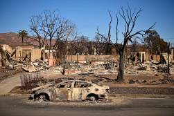
Since Jan. 7, the Palisades Fire, Hurst Fire and Eaton Fire have collectively burned more than 38,000 acres of land, destroyed 12,000 structures, killed at least 24 people, and displaced more than 100,000, according to Cal Fire.
The dry weather conditions and arid vegetation, exacerbated by the Santa Ana winds, present unique challenges to suppressant efforts, Marcus Hernandez, deputy chief in Cal Fire’s Office of Wildfire Technology Research and Development, told StateScoop. However, Hernandez said Alert California, the public safety program launched in 2019 with the University of San Diego that uses high definition cameras across the state to track and monitor active wildfires, has been an integral tool.
In 2023, Cal Fire added artificial intelligence and smoke detection to the 1,114 cameras placed on high-elevation areas, such as mountain peaks and hilltops, throughout the state.
“With over 1,000 cameras, it could be difficult for humans to monitor it, but it provides great situational awareness,” Hernandez said. “The smoke detection is great and one camera can see quite a distance, so there’s quite an efficiency when you look to devices on a coverage level.”
Able to perform 360-degree sweeps roughly every two minutes, the cameras can see as far as 60 miles on clear days, and up to 120 miles on clear nights, according to the university’s website.
In addition to the AI-powered cameras, the deputy chief said Cal Fire’s remote sensing program has been working “around the clock to provide intelligence” to first responders.
“The sensors assist with various things like thermal imaging, fire perimeters, preliminary damage assessment, including preliminary aerial and satellite assessment, to let those damage inspection crews know what areas to go to,” Hernandez said.
He added that the agency’s fire behavior analysts also use the remote sensors and AI-powered cameras to receive real-time updates and to monitor weather.
‘Overwhelmed by traffic’
California is no stranger to devastating wildfires, yet data from Cal Fire shows the Palisades and Eaton fires are already among the most destructive in the state’s history, scorching more than 10,000 structures in just a matter of days. In comparison, the state’s deadliest wildfire, the 2018 Camp Fire, destroyed more than 18,000 structures and killed 85 people in Butte County in Northern California.
The wildfires in Southern California have drawn international attention, bringing millions of people to the incidents page on the CAL FIRE website.
Hernandez said that updates to site, the which reports active wildfires and includes information such as mapping locations, containment percentages, and acres burned, have helped the platform remain operational, given its high traffic. He said the incident page for Palisades Fire, the largest of the three wildfires, has received more than 6 million visits.
During the 2020 wildfire season, in which the North Complex Fire burned more than 300,000 acres across Butte, Plumas and Yuma counties, Hernandez said Cal Fire’s website crashed.
“It was overwhelmed by traffic,” Hernandez explained. “They not only had to get the website fixed to handle the large amount of traffic, which hits were over a billion at the time, they looked into it to see what were California is looking for, and they wanted to see incident information that was affecting their community or their loved ones.”
Hernandez said Cal Fire made the incidents page the landing page after learning that was the page most people were visiting.
‘No longer a season’
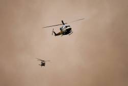
Like most fire departments, Cal Fire is also using drones and crewed aircraft to inspect damages and keep tabs on where fires are spreading. But the Santa Ana winds, which the National Weather Service projects will range from 45 to 70 miles per hour this week, present an obstacle to drone use.
The fast, hot winds, which dry out vegetation and accelerate wildfire flames, also create dangerous turbulence and vertical wind shear, a change in speed or direction of wind that scales with height.
“The drones can’t handle the winds as much as the crewed aircraft, but our pilots are highly trained on when to utilize them and when they’re most effective,” Hernandez said.
Hernandez said Cal Fire and the Los Angeles Fire Department have received support from neighboring states and counties, including personnel and equipment, emphasizing the importance of public preparedness and evacuation readiness.
“Years ago, we started talking about how fire season is year-round, it’s no longer a season,” he said. “We are seeing that now.”


