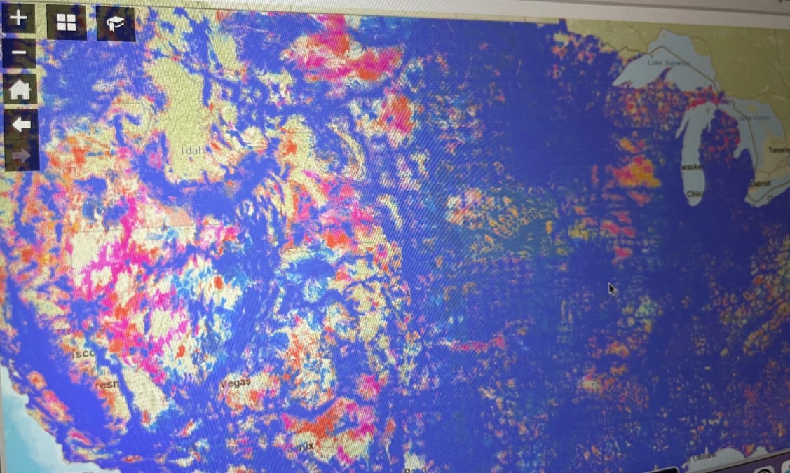
FCC publishes more-accurate nationwide LTE coverage map

The Federal Communications Commission on Friday published its first ever national coverage map of 4G LTE wireless networks, which the agency’s interim chairwoman, Jessica Rosenworcel, called a preview of its future mapping efforts.
The interactive map includes data voluntarily submitted by four large mobile carriers — AT&T, T-Mobile, U.S. Cellular and Verizon — and is the first public test of new standardized criteria developed earlier this year by the FCC’s Broadband Data task force.
Composed of FCC staff, the task force is responsible for making sure that future broadband maps are as accurate as possible, following years of pushback from state and local governments that proved many carriers were overstating their coverage areas.
The LTE map, however, is based on new criteria “intended to create a more uniform and consistent comparison of coverage among service providers than has previously been available,” according to the FCC’s website.
“A good map is one that changes over time,” Rosenworcel said in a press release. “Today’s new map represents progress in our efforts to implement the Broadband DATA Act and build next-generation broadband maps that can help to connect 100 percent of Americans. Using improved systems and data, we can provide better information about where broadband service is and is not across the country.”
The map allows users to search by address, showing where they can expect to receive voice and data service the participating carriers offer at a minimum speeds of 5 Mbps download and 1 Mbps upload. Future maps, the agency said, will eventually be made available when carriers submit their updated coverage data for 3G and 5G standards.
The task force’s work will continue as it seeks comment on how it should allow state, local and tribal government entities to challenge and verify the new mobile broadband maps.


