With potentially historic El Niño looming, California reopens State Operations Center with new disaster intelligence satellite capability
California has reopened its State Operations Center, a central command and control facility for emergencies and natural disasters, ahead of what forecasters at the National Oceanic and Atmospheric Administration said could be a record-breaking El Niño event this winter season, Gov. Gavin Newsom’s office announced Tuesday.
The State Operations Center, staffed by the California Office of Emergency Services and partners from across state government, has been modernized to “coordinate faster, smarter responses to disasters” by expanding the center’s physical footprint and upgrading the State Warning Center — the state’s 24/7 intelligence hub for monitoring threats. The state also replaced the operations center’s aging technology wall — essentially a large display screen or video wall used by emergency managers and state officials to maintain a shared, real-time visual layout during disasters.
State officials said the overhaul replaces an aging facility that had not undergone a major renovation since opening in 2000.
“Preparedness saves lives. It protects communities, keeps businesses open, and makes California stronger. The Golden State is connecting cutting-edge satellite intelligence with a modern command center on the ground so we can see danger sooner, move life-saving resources faster, and protect more people,” Newsom said in a statement.
“With a potentially historic El Niño taking shape, we are not waiting for storms to reach our doorstep,” he added.
NOAA has forecasted a 75% chance that this year’s El Niño will become a historic event, exceeding the strength of all recorded episodes since 1950, bringing with it prolonged periods of above-average temperatures in the equatorial Pacific. The weather phenomenon forms when temperatures in the region are 0.5°C (32.9 °F) above average for several consecutive months.
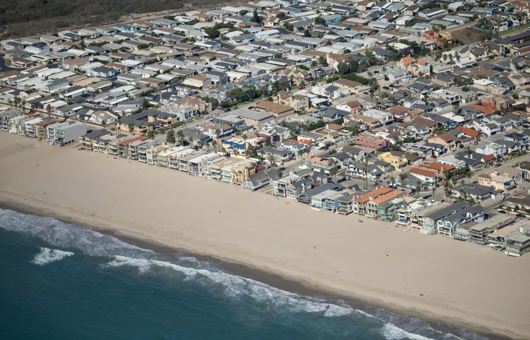
As a result, high-tide flooding could become a higher risk in parts of the U.S., especially on the West Coast.
A Kelvin wave, a massive bulge of water driven by wind changes and warmer ocean temperatures, is currently hitting Southern California. NOAA says the wave, which travels underwater, is not a threat to property or infrastructure, but could add six to 12 inches to sea levels for months and increase the damage of storm surges.
In addition to modernization efforts at the State Operations Center, CalOES recently partnered with ICEYE, a global satellite-imaging company founded in Finland that helps government agencies assess disaster damage from space. The tool allows Cal OES to receive near-real-time information on floods, wildfires and other disasters — even through clouds, smoke, or darkness.
The data will be integrated into California’s statewide emergency operations system and shared with local emergency managers to help establish a common operating picture during significant storms.
“The technology can help emergency managers identify where flooding is occurring, estimate water depths, and assess potential damage to homes, roads, and critical infrastructure, including during periods of heavy cloud cover or severe weather,” officials wrote.
Gov. Newsom also criticized President Trump for his 2027 fiscal budget proposal to cut funding for the Federal Emergency Management Agency by $1.3 billion and eliminate the Next Generation Warning System Grant Program, which supports emergency alerts and warnings, including in rural communities.
“As Trump walks away from disaster preparedness and climate science, California is stepping up to take action now,” Newsom said.
Since Trump took office for a second term, more than 200 employees at FEMA have been removed, and 1,000 employees at NOAA have been laid off, part of his administration’s effort to downsize the federal government. NOAA provides vital disaster alerts through the National Weather Service, and the staffing cuts have potentially disrupted weather forecasting and climate research.
In May, the Trump administration’s Federal Emergency Management Agency Review Council released its final report proposing one of the most significant restructurings of federal disaster response in decades and shifting more responsibility to state and local emergency management agencies.