State, federal collaboration key to GIS growth going forward
State officials in charge of geospatial information systems must coordinate data-sharing efforts with federal agencies to mature the United States’ GIS infrastructure, one state GIS leader recently told StateScoop.
Karen Rogers, staff policy analyst with the Wyoming Game and Fish Department and president of the National States Geographic Information Council, says on StateScoop’s GIS Addressed podcast that the National Spatial Data Infrastructure, which was established in the 1990s, needs heightened collaboration across the various levels of government to ensure coordination and reduce duplicative efforts.
“There’s a lot of work to do, and it is complex, and it’s hard to make a system that works for 50 different states that do it 50 different ways,” Rogers says on the podcast. “So where we’re going to take it from here is NSGIC is going to lead conversations between the states and federal agencies.”
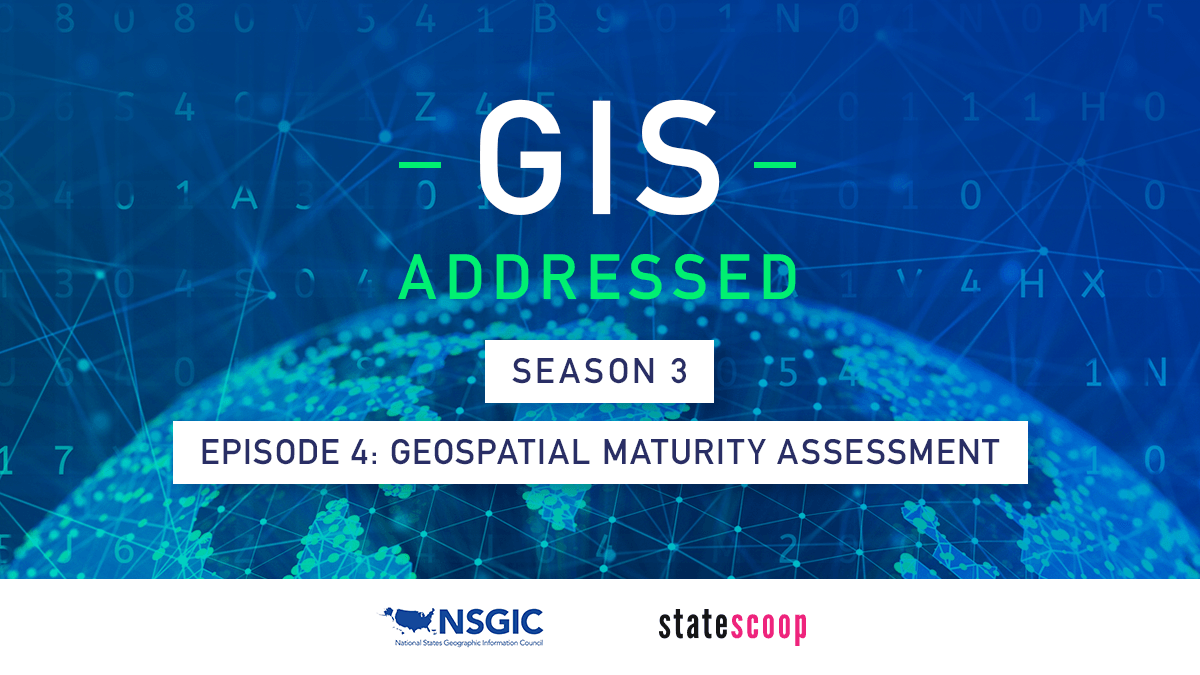
Rogers’ call for work with federal agencies follows passage of the Geospatial Data Act in 2018, and release of the 2019 Geospatial Maturity Assessment, which graded each responding state’s GIS efforts. Upon comparing those results with the national report card produced by the Coalition of Geospatial Organizations, she found a serious disconnect, she says.
“The initial 2019 geospatial maturity report report was just that — initial,” Rogers wrote in a post on NSGIC’s GeoJava blog. “We found a huge variety of circumstances and programs across the states which made one fair grading rubric difficult to get right the first time. … The grading metrics deserve a closer look and improvement next time.”
As NSGIC leads those conversations between state and federal entities, Rogers says the group will change the way it surveys the states, but also build improved infrastructure for collaboration between the two. Alongside those efforts, she says, NSGIC will work to develop best practices for states to guide that collaboration.
“We’re certainly looking forward to having those conversations to better define what it is that we need and work toward developing those systems,” Rogers says. “We’re going to build a cheat sheet — you know, ‘this is what works, this is the secret sauce in this state.’”
On the podcast:
- Karen Rogers, staff policy analyst, Wyoming Game and Fish Department
- Jake Williams, associate publisher and director of strategic initiatives, StateScoop
Things to listen for:
- The basis of both the Coalition of Geospatial Organizations’ assessment and NSGIC’s geospatial maturity assessment comes from the National Spatial Data Infrastructure, which was established in the early 1990s.
- Since the initial release of the results of the GMA, Rogers says she’s heard from states that the results provided a “kick in the pants” to do better.
- Florida’s grade for the next GMA will likely be better because the state has approved a next generation 911 plan and shared their orthoimagery statewide, Rogers says.
- As the coronavirus pandemic continues, GIOs have found themselves with an unexpected platform due to the prominence GIS has played in response efforts, Rogers says.
- As open-data efforts continue to mature nationwide, Rogers says those initiatives will also help improve states’ ranking against the GMA because more data will be available for geospatial practitioners to use.
GIS Addressed is a podcast from StateScoop and the National States Geographic Information Council about the role of geographic information systems in government. Catch up by listening to Season 1 (2018) and Season 2 (2019).
Catch all of StateScoop’s podcasts on Soundcloud, Apple Podcasts, Spotify, Google Play, Stitcher or Alexa’s TuneIn.