Dallas police, fire trying ‘what3words’ location technology
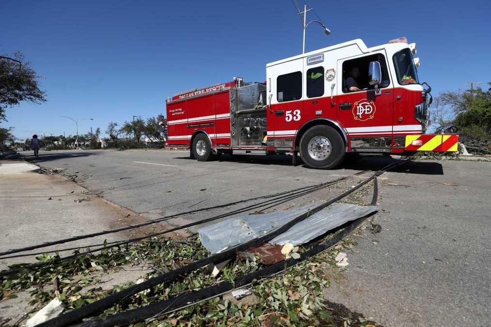
The Dallas Police and Fire-Rescue departments are the latest in a growing number of U.S. public safety agencies to start using what3words, a geocoding technology that uses unique sequences of three random dictionary words to reference locations of emergency scenes and personnel.
In an announcement last week, the Dallas agencies said they would begin using the free what3words mobile app and online map, in addition to existing emergency location and mapping tools. This addition is intended to make it easier for people to communicate their precise location and for police officers and firefighters to accurately communicate their locations with each other.
The location of the Dallas Police Headquarters, for example, is “///shed.rocky.echo”.
“Being able to get to a location quickly is everything in an emergency situation, because time is crucial,” Dallas Police Chief Eddie Garcia said in a press release. “Having an additional tool like what3words, will help us to find a location quickly, and respond to an emergency faster to get help to those who need it.”
Trillions of squares
What3words was founded in 2013 in the U.K., where its technology is now used by more than 85% of the country’s police, ambulance and fire services. It’s been slowly adopted over the past year by U.S. emergency agencies, including the Los Angeles Fire Department and the 911 dispatch in Austin.
In an interview, Giles Rhys-Jones, what3words’ chief marketing officer, described how the company’s platform assigns its names for locations.
“We have developed a very simple way to talk about any location on the planet. We divided the world up into small squares — there are 57 trillion ten-foot by ten-foot squares — and then we allocated each one of those squares with a unique three-word identifier,” he said.
The company provides its code at no cost to emergency services, which can integrate what3words into their existing technology platforms, Jones said. Many public safety agencies use the tool to send callers links to an online map where they can find their location’s three-word combination, giving dispatchers their precise location.
‘A robust z-axis’
Even when callers provide a traditional address and description of their location, responders may still have to spend time locating them, said Robert Uribe, the Dallas Police Department’s 911 communications and technology administrator.
The accuracy of triangulating a call using mobile network services depends on the spacing between cell towers, Uribe said. He said that in more remote areas, the wide spacing of these towers can make it difficult to find people who, say, get lost hiking. Addresses can also refer to large buildings, but not specific entrances.
The limitations of existing technology haven’t stopped responders from finding callers, but have made it necessary to ask callers to describe their locations.
“I don’t know of any application yet that can provide a robust z-axis to tell us what floor of a building someone is on,” Uribe said. “I know that’s coming in the future, but for now, it’s a ways off.”
The what3words app has become popular globally. It’s even used by the postal system in some countries, such as Mongolia, to replace addresses, but it has limitations. It’s easy to accidentally say three words in the wrong order, and spelling errors and regional accents can occasionally lead to misunderstandings. For these reasons, the Mountain Rescue service in England and Wales has warned users to think of what3words as a useful option, not a replacement for traditional navigational tools.
The Dallas Police and Fire-Rescue departments are taking a similar view – treating what3words as a supplement to existing tools, rather than a replacement, Uribe said. They have integrated the use of the technology into their training for staff, plan to educate the public about its usage through social media and will evaluate it over the next six to eight months, he said.
“We’re excited about the new technology, and hopefully it becomes a successful example of how we can use technology to help impact our public safety response,” Uribe said.


