How Maine used GIS to meet a tight BEAD deadline, expand digital equity

Over the last several years, Maine’s broadband office has relied on geographic information systems to improve its challenge process for the federal Broadband Equity, Access and Deployment program.
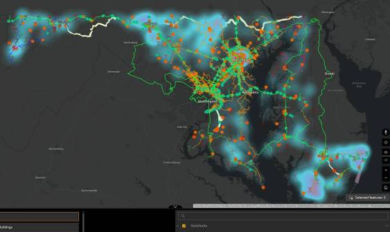
The mapping technology has not only helped internet service providers deliver their input to the Maine Connectivity Authority — which helped the office to determine which locations do not have access to high speed internet, and therefore eligible for BEAD funding — the technology has also provided transparency into the process for residents. It has powered new tools to help expand access to public internet resources by helping residents find things like free Wi-Fi networks and where to attend digital-skills classes.
State officials told StateScoop that the GIS tools, which were built with the help of the Center for Geospatial Solutions, a nonprofit, were especially helpful during a recent redo of the BEAD subgrantee selection process, which was mandated by last-minute changes to the program.
Meghan Grabill, director of research and data at the Maine Connectivity Authority, said that while GIS has been part of the state’s broadband office since its inception, the technology was upgraded to a more robust system in 2021. The new system features a full Esri ArcGIS Enterprise stack that uses Amazon Web Services.
The first iteration of the public-facing map that details project service areas eligible for BEAD funds, Grabill said, was built around the time Maine kicked off its state-led BEAD challenge process last April. This is the process in which states and territories verify the accuracy of broadband availability data provided by ISPs and other data sources. Even though that process formally concluded last November when the National Telecommunications and Information Administration approved Maine’s list of locations eligible for BEAD funding, the Commerce Department announced the changes to the BEAD program last June.
The controversial changes issued by NTIA require states and territories to review their lists of eligible locations, and remove all that were not in version 6 of the Federal Communications Commission’s National Broadband Map dataset published on June 10. Grabill said the precise data already included in the state’s maps accelerated the process, through a desktop analysis, and allowed Maine to complete the work within the short timespan allotted by the NTIA.
Grabill said the GIS technology also made it easier for internet service providers to submit bids on project locations.
“It’s hard, it’s a big lift — it takes a lot of time, right? Especially when we add on the layer of we have to collect all the evidence from the ISPs,” Grabill said. “But then there’s all the downstream effects, too. Like here’s the eligible location data, but now you have to reconfigure your project service areas, and now you have to redo all the math that drives it. It’s a domino effect to remove them.”
Justin Madron, associate director of data visualization at the Center for Geospatial Solutions, said the Maine broadband office’s partnership with his organization to develop these narrowly focused GIS applications to maximize broadband availability across the state came down blending policy and practice.
“I think the most interesting piece is really the thought partnership around, how do we create these complex geospatial systems that really allow us to be nimble, right, and solve the problem of broadband access across Maine? So that was really our main mission,” Madron said. “Our second piece of that was really about how do we implement something like that, right? So we’ve kind of played two-fold there. And, of course, as we’ve seen with changing guidance from NTIA, that has been really beneficial to them.”
The technology has also found a use in Maine with expanding access to resources that improve digital literacy. Jessica Perez, the Maine Connectivity Authority’s digital equity manager, said that while the office was “disappointed” with the cancellation of the millions of dollars Maine had been set to receive through the Digital Equity Act, it’s now taking other steps to help address gaps in digital skills. Two weeks ago, the authority launched Tech Help for ME, a website that indexes digital resources, like technology classes and locations with video calling pods.
Perez said the state broadband office partnered with community groups across the state to create this map-based dashboard, which is accessible in ten languages. Residents can enter an address to see nearby resources or choose a category to see what’s resources are available nearby.
“We feel like digital equity has to go hand-in-hand with [broadband] infrastructure,” Perez said. “Like you can’t build out all this infrastructure and expect people to be able to meaningfully use it without providing them opportunities and resources to build their confidence being online.”