(Getty Images) How Maine used GIS to meet a tight BEAD deadline, expand digital equity Maines officials said mapping technology is improving the state's BEAD process and expanding access to digital-skills training. Aug 1, 2025 By Keely Quinlan
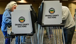
People vote on “Super Tuesday,” March 5, 2024 at the Central Library in Huntington Beach, California. (Getty Images / Frederic J. Brown / AFP) Local election offices tap map data to boost voter turnout and trust Local election offices are using mapping software to improve the transparency of their processes and to encourage more people to go vote. Oct 17, 2024 By Keely Quinlan
A fallen tree blocks a street during Hurricane Beryl on July 08, 2024 in Houston, Texas. (Brandon Bell / Getty Images) After Hurricane Beryl, Houston tracks debris collection with public map A new map illustrates the City of Houston's efforts to clean up an estimated 4.5 million cubic yards of debris after two major storms. Jul 23, 2024 By Keely Quinlan
(Getty Images) How mapping tools are improving school safety in North Carolina Applications for risk management planning and mapping are helping state officials coordinate with school administrators and better understand their facilities. Nov 5, 2019 By Ryan Johnston
For Hurricane Maria relief, infrastructure map lends Puerto Rico a hand A new map provides the territory crowdsourced updates on dangerous conditions related to bridges, roads, mudslides, water and fuel. Sep 28, 2017 By Jason Shueh
Baton Rouge builds interactive, GIS-powered map after massive floods The city's IT department decided to take a data-driven response to guiding their rescue and response efforts. Sep 7, 2016