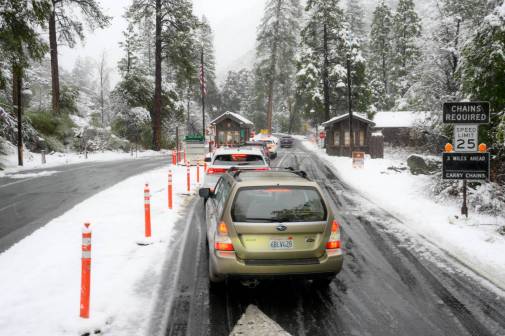
FCC wants 911 location data to be more precise
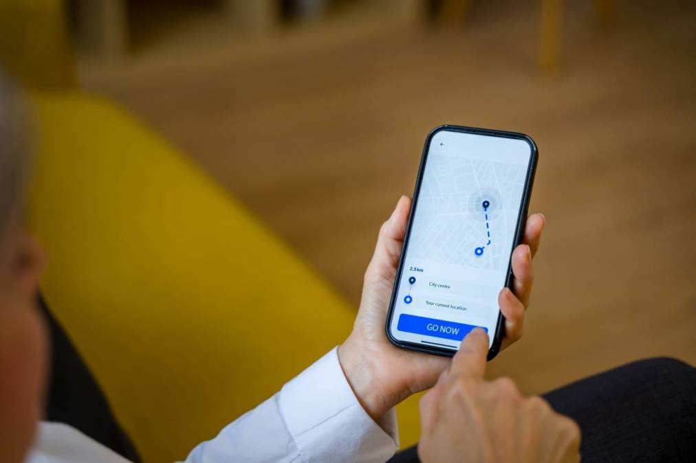
The Federal Communications Commission on Wednesday proposed new rules to enhance the accuracy of location information provided during wireless 911 calls, aimed at improving how emergency operators locate people who call from cell phones, especially when they’re inside large buildings.
While many emergency calls include general location information, pinpointing an exact floor or apartment can be difficult. The FCC has campaigned for several years to change that. The latest rule proposal would require wireless companies to provide better vertical location data and change the technical method of measuring height that’s built into phones by wireless carriers.
Brandon Abley, chief technology officer of the National Emergency Number Association, said he supports the FCC’s proposal, which he said is aimed at “ensuring more accurate, actionable location information is provided automatically to 911 professionals.” But he said he was concerned about some technical aspects of the project, because “not everyone has the technology needed to make the FCC’s proposal work as it is currently written.”
“The idea is that you receive the caller location in three dimensions, and then you query that against a map with 3D information to figure out where the caller is inside of a building,” Abley said. “It’s rolling out across the country, but I wouldn’t say it’s extremely common yet.”
He said the FCC wants 911 systems to receive more data that can be used to improve operations, such as call handling, resource allocation and overall efficiency. Abley noted that while the proposal is well-intentioned, the current 911 infrastructure isn’t there yet.
“When you look at it from a technical engineering perspective, there are a lot of details that could prevent any of this from working for a significant period of time,” he said.
The current measuring system is called height above ellipsoid, or HAE, which measures callers’ vertical positions in relation to sea level. The FCC proposes vertical height of the caller be measured from above ground level, or AGL, a system used in drone regulations.
In theory, the new method of vertical measurement would make it easier for emergency responders to know if someone is on the second floor of a building or the 15th. But Abley said NG911 standards don’t support AGL, and it would require years for wireless carriers and PSAPs to adopt it.
“NENA has always felt that the best place to do the conversion is at the end point where the 911 system has good 3D-mapping information,” Abley said.
In its proposal, the FCC cited a 2022 report by NENA detailing how emergency services can better locate 911 callers in three dimensions, particularly important when someone calls from a multistory building. The report, which is scheduled for review this June, suggests PSAPs standardize how they convert HAE data into AGL coordinates, so emergency services can improve their response times and accuracy in locating callers.
The FCC also wants to encourage phone companies to share more-precise address-level information, such as street addresses plus room or apartment numbers, so responders can get to people faster. But Abley said this shift would create new challenges for emergency responders in the level of certainty required for pinpointing callers’ exact locations.
“We always want uncertainty with every location that’s conveyed about a 911 call. It’s like the circle around the dot, right? You’re somewhere within that circle, not necessarily where the dot is,” Abley said.
He noted that the current standards with street addresses work well with something like a fixed VoIP service or a landline tied to a specific physical address, like a home or office, because the locations are easier to pinpoint. Wireless devices, he wrote in an email, “use emergency location services that work similarly to those used widely in other applications, using a variety of sensors and measurements.”
Thirteen states have fully operational NG911 systems, according to 911.gov, and many others are in various stages of implementation, such as seeking proposals from vendors or adopting governance and funding plans.
The FCC’s proposal also includes plans to improve how location data is tested and verified, ensuring it works in all types of environments — cities, suburbs and rural areas. To help emergency dispatch centers, the FCC wants to create a central online system where problems with location data can be reported directly to wireless companies.
Public comments on the proposal are open through early July. The FCC said in the announcement it hopes input from first responders, phone companies and citizens will help shape the final version. Abley said NENA is drafting its public comment.
Corrected May. 9, 2025: Additional details were added to clarify Abley’s comments about the FCC’s program and how wireless devices transmit location data.