A year after wildfires, Maui adds new evacuation tools to emergency management

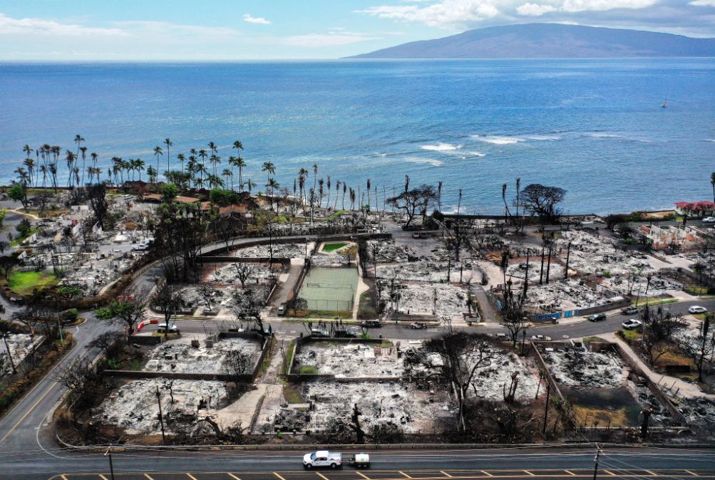
A year after the Lahaina wildfires devastated the island of Maui, the Maui Emergency Management Agency is updating its emergency preparedness and evacuation management systems to better protect residents and tourists from disasters.
Earlier this month, Maui awarded Genesys, a public sector IT provider, a four-year contract to use its EVAC and TRAFFIC AI emergency management systems that use artificial intelligence so first responders can create efficient evacuation plans for impacted areas based on real-time traffic data and analytics.
“These advanced planning and communication tools will allow us to respond more effectively to future emergencies, including making data-driven evacuation decisions,” Maui Mayor Richard Bissen said in an announcement for the contract.
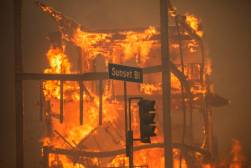
Hawaii’s outdoor siren warning system, the largest in the world, was not activated during the Lahaina fires, causing delays in critical evacuation zones that resulted in immense property damage and more than 100 people dead. Some experts said this was due to mechanical failure or because cellular service wasn’t working.
By providing real-time updates and traffic data, EVAC and TRAFFIC AI can help Maui Emergency Management Agency (MEMA) better plan and coordinate response efforts with more streamlined evacuations and improved situational awareness. Residents can also download the Genesys Protect mobile app to receive location-based notifications to stay safe and informed during emergencies.
Lahaina, a coastal community, is the perfect example of a location that needs mass notification, communication and evacuation management because there aren’t a lot of places for people to flee or find safety, said Ken Kehmna, who serves as senior operations adviser to the Western Fires Chief Association, a non-profit focused on supporting government emergency management efforts across the country.
“Where these tools really come into play and really make things better is it gives you the ability to sequence your evacuation, so you can get people out in sequences, rather than just telling everybody go, because then people go all manner of directions,” Kehmna told StateScoop in a recent interview. “You can really be much more surgical and much more precise about the information you share which areas are under evacuation, where they should be going, all of those kinds of thing.”
Kehmna said the Lahaina wildfires — and more recently Hurricane Helene in Florida and North Carolina — illustrates that it is critical for advanced emergency alert systems to be resilient when providing timely and targeted updates to residents and visitors.
“There’s only so many ways in and so many ways out. It’s got a large tourist population, people who may not be familiar with the area, so your ability to communicate clearly and effectively with the community and help them to make good decisions so you can potentially get them out of harm’s way,” Kehmna said.
Genesys’s EVAC is currently deployed across various regions in the United States, including in California, Oregon, Colorado, Arizona, New Hampshire, New Mexico, and Texas, which also suffer from debilitating natural disasters such as wildfires, hurricanes, tornadoes, severe flooding and blizzards.
Maui County is expected to deploy the EVAC and TRAFFIC AI tools in January.
“Our key stakeholders – our fire, police, dispatchers, state partners, and many others – will be providing input on the initial evacuation zones the software will create for each area,” MEMA Administrator Amos Lonokailua-Hewett said in the announcement.
Hawaii is also implementing new safety measures including wildfire sensors that send text messages to fire officials when an issue arises, building new emergency access roads, and adding more evacuation routes on Maui and Oahu.


