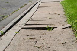
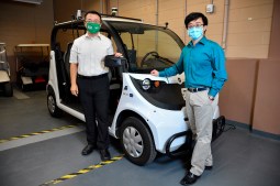
University of North Texas researchers are developing new technical frameworks to help AVs share data and contribute to what they call "cooperative perception."
A yearlong pilot with Nevada, Dell and NTT uses infrared and lidar to detect collisions and monitor for cars going the wrong direction on one-way streets.
Commentary: An Alaska-based spatial analyst with The Nature Conservancy shares his formula for leading a successful mapping project through a lesser-known federal program.