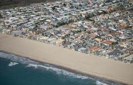
Oxnard, CA – October 05, 2026: Oxnard Shores photographed from an airplane on Monday, Oct. 5, 2026 in Oxnard, CA. Topographic LiDAR survey of the California coastline funded by the state of California monitors coastal erosion and morphology due to increasingly large storm and weather events along with rising sea levels. This survey serves as a baseline for future surveys and was conducted just before and after an active El Nino winter season.(Kayla Bartkowski / Los Angeles Times via Getty Images)
The National Oceanic and Atmospheric Administration has forecasted a 75% chance that this year’s El Niño will become a historic event, increasing the risk of high tide…
StateScoop reporter Keely Quinlan, who attended the conference, joins us to talk about the looming DOJ digital accessibility deadline and how artificial intelligence is reshaping the widely…
The case shows how state benefits agencies are struggling to navigate balancing fraud detection with ensuring legitimate recipients receive the assistance they need.
The National Association of State Chief Information Officers held its annual conference this week in San Diego, bringing together dozens of state technology leaders to discuss the…
Bry Pardoe, CIO of Pennsylvania, during the awards dinner of the 2026 NASCIO Annual Conference in San Diego on Sept. 29, 2023. (Julie Ellis, National Association of Chief Information Officers)
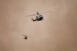
The new facility replaces a remote aviation base with state network access, specialized aircraft rescue capabilities and space to house helicopters and air tankers closer to wildfire…
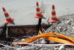
A new pilot will test six pieces of zero-emission construction equipment in Queens and Staten Island, with findings expected to inform the city’s next climate plan.
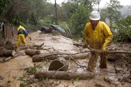
FAIRFAX, CA – JANUARY 2: Gilbert Velarde clears debris from a mudslide on Tamalpias Road January 2, 2006 in Fairfax, California. Northern California has been inundated by heavy rain over the past week, causing mudslides and pushing rivers over their banks. (Photo by David Paul Morris/Getty Images)
New federal grants from the U.S. Geological Survey are helping states build landslide databases that can improve hazard mapping, emergency planning and public awareness.