Missouri started using AI and drones to (quietly) track waterfowl
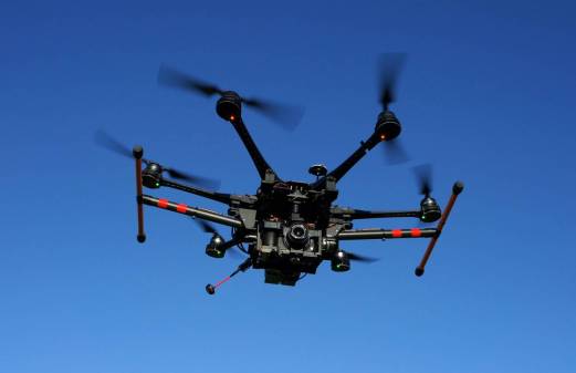
The Missouri Department of Conservation, in partnership with the University of Missouri, is testing a new drone and artificial intelligence system that could redefine how the state monitors waterfowl.
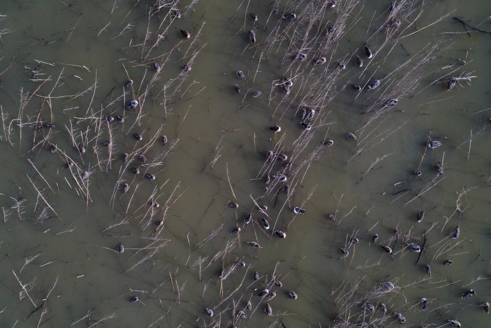
In side-by-side trials with traditional aerial and ground surveys, researchers found that the AI-assisted system can identify birds with more than 90% accuracy, while avoiding the disturbance and costs associated with helicopter and fixed-wing flights. The new approach lets the department deploy short drone flights between major survey efforts, capturing changes in habitat and migration activity.
“We really try and minimize the amount of disturbance on the refuges, so that the waterfowl have a safe place to rest and refuel when they come into the state on their migrations,” said Reid Viegut, the migratory game bird coordinator for the Missouri Department of Conservation. “Part of this project was to evaluate the response of waterfowl to the drone to see if we were disturbing the waterfowl.”
Traditionally, the department estimates waterfowl on state and federal wildlife refuges through ground counts, in which staff drive around the wetlands trying to approximate the number of waterfowl by sight, or through aerial surveys using helicopters or planes.
Viegut said that, unlike crewed aircraft, drones showed no measurable change in waterfowl behavior, giving biologists a faster, more detailed picture of how wildlife interacts with habitat and human activity.
“Some of these areas have large numbers of birds on small areas. And so they can just be sometimes they’re hard to see and hard to really get a good count on them,” Viegut explained.
The AI models can process thousands of images in hours, allowing conservation managers to conduct same-day analyses for for water-level management, habitat restoration or hunting plans. The AI system can also scan camera-trap photos, automatically identifying species like deer and raccoons, potentially saving staff thousands of hours.
Yi Shang, one of the researchers, said the goal of the project is not to replace biologists, but to modernize conservation efforts.
“The result is a playbook the department can scale [with] predictable battery needs, coverage estimates, and repeatable image quality that make ad-hoc ‘opportunity flights’ feasible between larger aerial efforts,” Shang wrote in an email.
Viegut said the department hopes to operationalize the technology in the next few years, potentially expanding its application to other conservation efforts, such as mapping invasive plants, monitoring wetland habitats or analyzing river ecosystems.