Arizona Secretary of State Adrian Fontes speaks at the Arizona Democratic Election Night Watch Party on Nov. 5, 2024 in Phoenix, Arizona. (Mario Tama / Getty Images)
The statewide rollout of Enhanced Voting software will give voters a centralized website for tracking unofficial election results, with state officials citing transparency and security as priorities.
An Immigration and Customs Enforcement (ICE) agent stands near Delaney Hall which is being used as an Immigration and Customs Enforcement detention center on in Newark, New Jersey, on May 26, 2026. (Photo by CHARLY TRIBALLEAU / AFP)
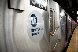
The MTA Metropolitan Transportation Authority logo sign is seen on a subway train in New York on Aug. 5, 2026. The transportation system provides rapid transport rail and bus service throughout the New York City and metropolitan area. (Photo by Marcin Golba/NurPhoto via Getty Images)
A new report shows how 17 companies tested tools for infrastructure inspections, maintenance planning and data management with transit agencies in the tri-state area.
The legislation would direct a federal research lab to develop technology that helps first responders locate survivors in areas where traditional radio signals cannot reach.
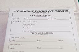
5212 photo Ryan McFadden Cindy Zimmerman is a Sexual Assualt Nurse Examiner SANE at St. Joseph’s Medical Center; Sexual Assault Evidence Collection Kit (rape kit); (Photo By Ryan McFadden/MediaNews Group/Reading Eagle via Getty Images)
The pilot aims to help state agencies improve the system, address training and technical needs and ensure the process is consistent, transparent and centered on survivors.
The state Medicaid office is asking federal officials to disclose the technology involved in their data analytics to determine whether it should take action against individuals or…
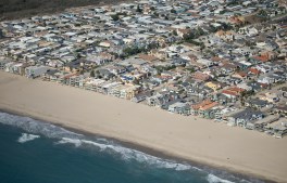
Oxnard, CA – October 05, 2026: Oxnard Shores photographed from an airplane on Monday, Oct. 5, 2026 in Oxnard, CA. Topographic LiDAR survey of the California coastline funded by the state of California monitors coastal erosion and morphology due to increasingly large storm and weather events along with rising sea levels. This survey serves as a baseline for future surveys and was conducted just before and after an active El Nino winter season.(Kayla Bartkowski / Los Angeles Times via Getty Images)
The National Oceanic and Atmospheric Administration has forecasted a 75% chance that this year’s El Niño will become a historic event, increasing the risk of high tide…
The state agency’s new Fire Innovation Unit will bring firefighters, IT specialists and researchers together to test whether emerging tools can address operational gaps and improve safety…
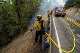
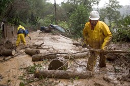
FAIRFAX, CA – JANUARY 2: Gilbert Velarde clears debris from a mudslide on Tamalpias Road January 2, 2006 in Fairfax, California. Northern California has been inundated by heavy rain over the past week, causing mudslides and pushing rivers over their banks. (Photo by David Paul Morris/Getty Images)
New federal grants from the U.S. Geological Survey are helping states build landslide databases that can improve hazard mapping, emergency planning and public awareness.
The partnership will focus on redesigning member notices, simplifying applications and mapping caseworker processes to identify repetitive tasks that could be automated or streamlined.