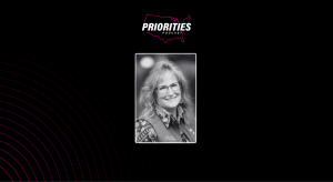
Molly Schar

“I think the biggest takeaway is the critical role that GIS has been able to provide, the context of place and time, around how essential it’s been for state government to provide and visualize data for citizens, to be able to understand what’s happening and to make the best decisions for themselves and their families.
“We saw all of those dashboards go up so that members of the public could look to their officials, look at the map, look at the numbers and understand what was happening and make their decisions.
“Geographic information officers became great resources and partners to their governor’s office, to their health department. NSGIC and some of our GIOs collaborated a couple with geospatial organizations to stand up a national task force and develop a playbook for pandemic GIS preparedness and response and bring the entire community together to report out and learn from each others’ experiences. Those are really concrete tools and resources that we will take forward to the next public health emergency.”
Molly Schar is executive director of the National States Geographic Information Council.


