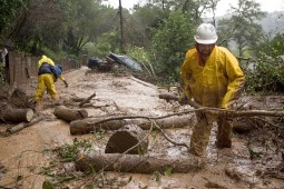
States look to lidar, machine learning and satellites to map landslide risks
New federal grants from the U.S. Geological Survey are helping states build landslide databases that can improve hazard mapping, emergency planning and public awareness.